Select your language
 ID
ID 


Program Activities
YSI Facilitates Five-Year Reflection of MapBiomas Indonesia: Shaping Direction and Strengthening Collaboration
YSI
Hits: 5
2 minutes read
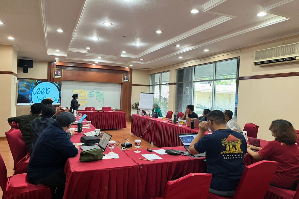
On October 30–31, 2025, Yayasan Auriga Nusantara and Yayasan SHEEP Indonesia (YSI) organized the MapBiomas Indonesia Joint Reflection and Action Workshop in Jakarta. The event brought together all MapBiomas Indonesia network partners to present the findings of the platform development assessment and to outline future directions for collaboration.
YSI served as both facilitator and assessor during the reflection process. The YSI team guided sessions evaluating MapBiomas Indonesia’s five-year journey, identifying key challenges, and proposing strategic solutions to enhance the platform’s development. MapBiomas itself is a civil society network established to promote land cover transparency for the benefit of both people and nature in Indonesia.
Over two days, participants engaged in collaborative discussions. On the first day, the YSI team presented assessment results conducted between July and September 2025 across eight MapBiomas Indonesia partner organizations: HAKI (South Sumatra), HAkA (Aceh), Genesis (Bengkulu), SOB (Central Kalimantan), GOB (North Kalimantan), KOMIU (Central Sulawesi), JERAT (Papua), and Mnukwar (West Papua). Following the presentation, participants discussed key findings and formulated follow-up actions to strengthen recommendations.
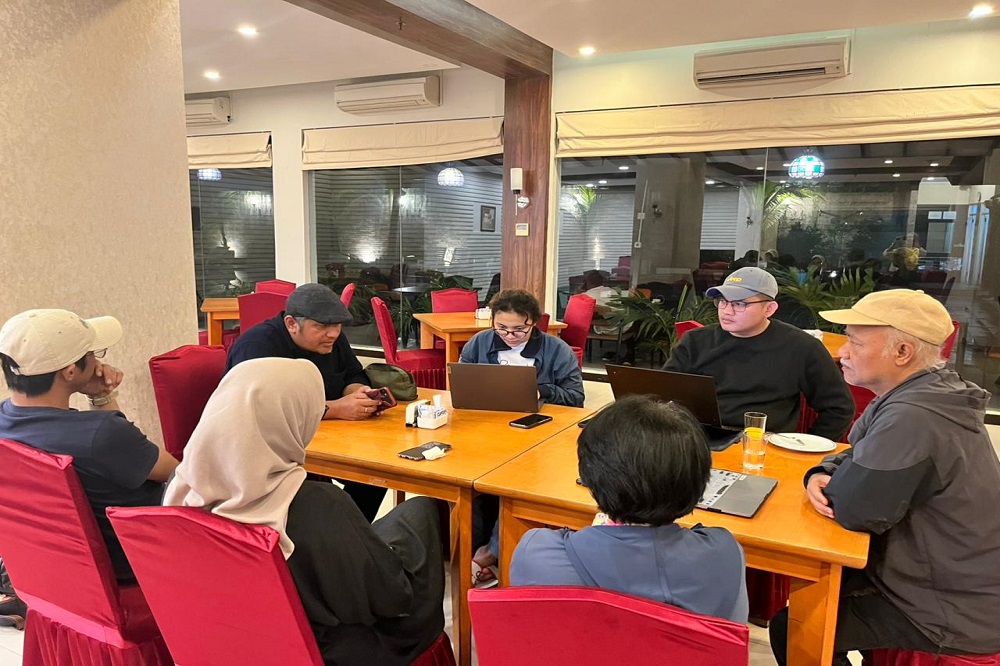
On the second day, discussions focused on five global issues relevant to advancing MapBiomas as a data-driven solution. Participants were divided into three regional groups: Sumatra (HAKA, HAKI, Genesis), Kalimantan–Sulawesi (KOMIU, SOB, GOB), and the Auriga group. Each group explored its regional role in expanding MapBiomas Indonesia’s impact and relevance.
Since its launch in 2020, MapBiomas Indonesia has grown through strong cross-organizational collaboration. The platform has provided more accurate land cover maps while strengthening the capacity of civil society organizations in environmental monitoring. From its initial Collection 1.0, which focused on historical data, MapBiomas has advanced to Collection 4.0, offering near real-time monitoring down to the village level and tracking landscape changes from 1990 to 2024.
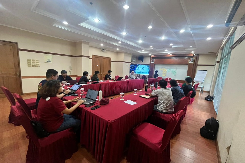
This five-year reflection workshop marked an important milestone in reaffirming the network’s shared vision. Through YSI’s facilitation, the process resulted in three key follow-up commitments: