Select your language
 ID
ID 


Program Activities
Formation and Capacity Strengthening of the Landscape Based Early Warning System Working Group in North Lombok
YSI
Hits: 2
3 minutes read
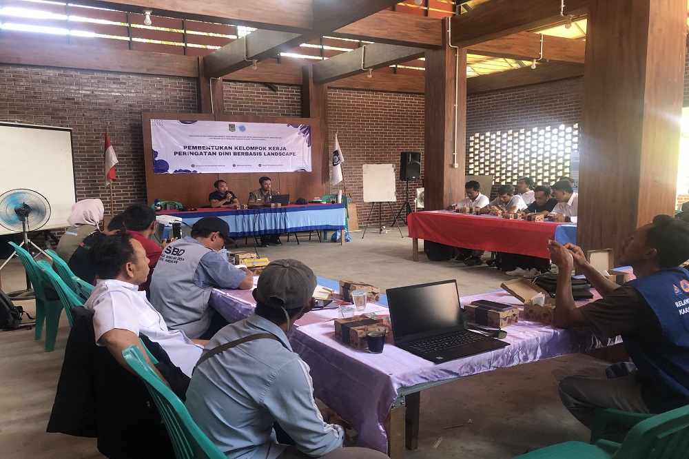
Kayangan, North Lombok. On 28 to 29 October 2025, SHEEP Indonesia Foundation through the Food Program held the formation of the Landscape Based Early Warning System Working Group. The activity took place at the Kayangan Subdistrict Office and involved 34 participants, 32 men and 2 women, from 14 villages supported by the foundation in the North Lombok landscape. Participants represented village institutions such as village disaster preparedness teams, village disaster risk reduction forums, posyandu cadres, community based disaster volunteers, village heads, village information system operators, community leaders, women representatives, and officers from the North Lombok Disaster Management Agency, the NTB Meteorological Agency, and local environmental groups.
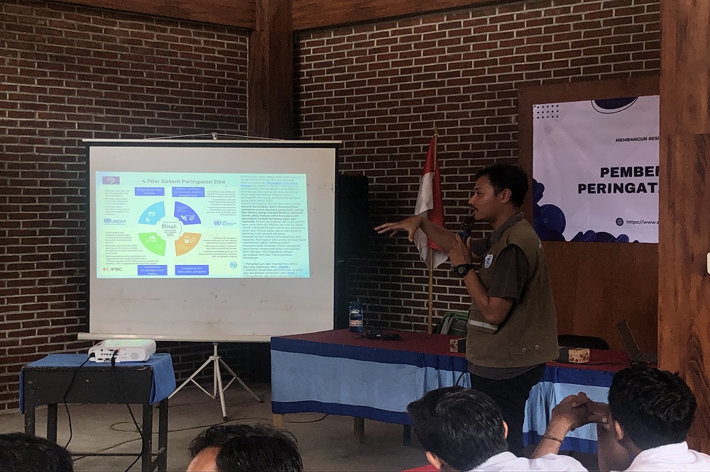
The first day focused on strengthening participants' understanding of disaster early warning systems. The prevention and preparedness division of the North Lombok Disaster Management Agency presented the disaster history of the 14 villages located in the Santong to Murus Malang landscape. The area faces risks such as earthquakes, extreme weather, floods, landslides, drought, and volcanic activity from Mount Rinjani. Data from 2025 showed that 79 percent of disaster events in North Lombok were caused by extreme weather. Fires accounted for 5 percent. Landslides, flash floods, and tidal floods reached 3 percent. Earthquakes reached 1 percent. The NTB Meteorological Agency explained the four pillars of early warning systems and the mechanism for disseminating extreme weather information. Facilitators from the Disaster Management Commission introduced the functions and roles of the working group as a connector among actors at the village level. A discussion session helped deepen participants' understanding by sharing experiences on risk management and the use of village information system data as a monitoring tool.
The second day began with a review of key learning points. Participants continued with a gap assessment of the current early warning system, the formation of the landscape based working group structure, and drafting early action responses. The agreed structure consisted of a chairperson, M. Zainur. A secretary, Siswandi. Three coordinators for monitoring, information dissemination, and community education. The group developed a joint action plan that included coordination with subdistrict communication units for seasonal readiness, capacity building for the working group, the development of standard operating procedures for early action, and class based and field based drills.
The activity closed with a collective commitment to strengthen coordination between the working group, the disaster agency, and the meteorological agency in managing risk data and disseminating rapid information through the village information system or community radio. This commitment formed the basis for collaboration to integrate technology based warning systems with community participation.
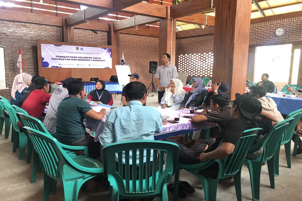
One participant, M. Zainur from Kayangan Village, stated, This activity broadened our view that early warning systems are a shared responsibility. Through the working group, we can stay connected across villages to exchange extreme weather information and take quick steps before disasters occur. This matters because weather patterns are now more difficult to predict.